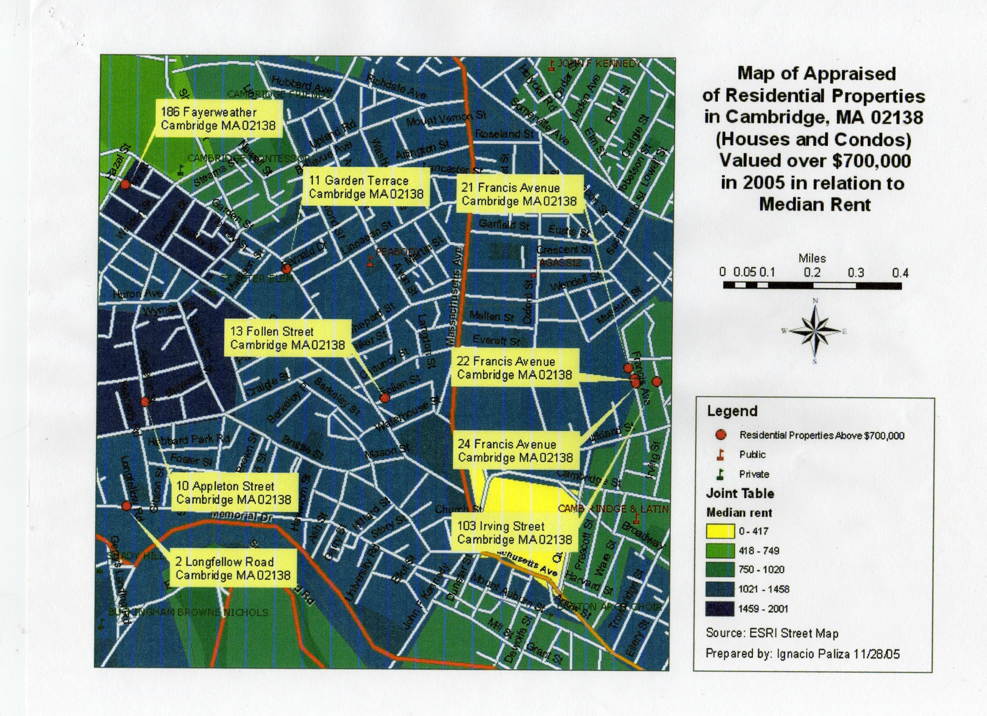
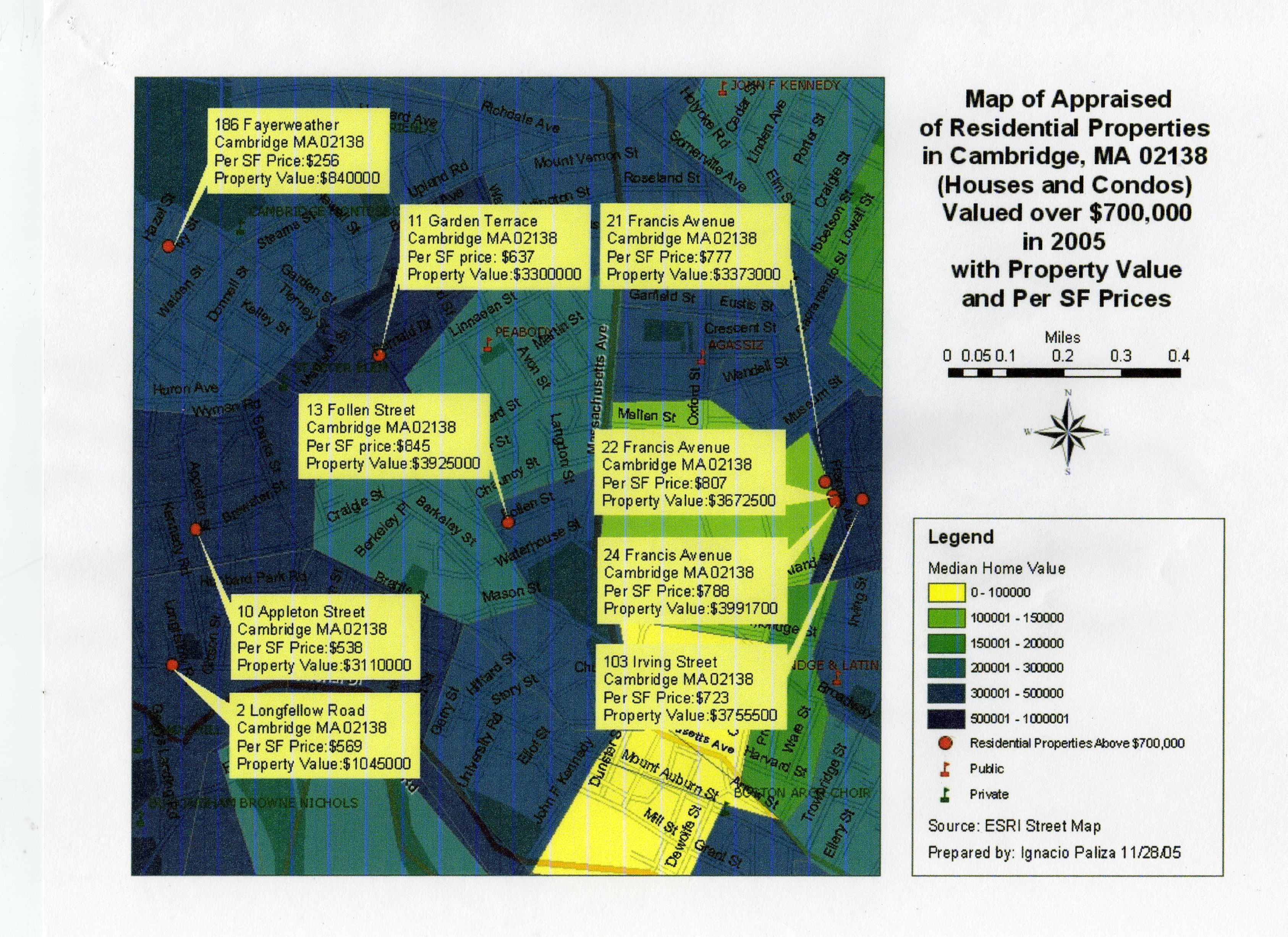
Cartography Studies Using Geographic Information System (GIS)
Overview
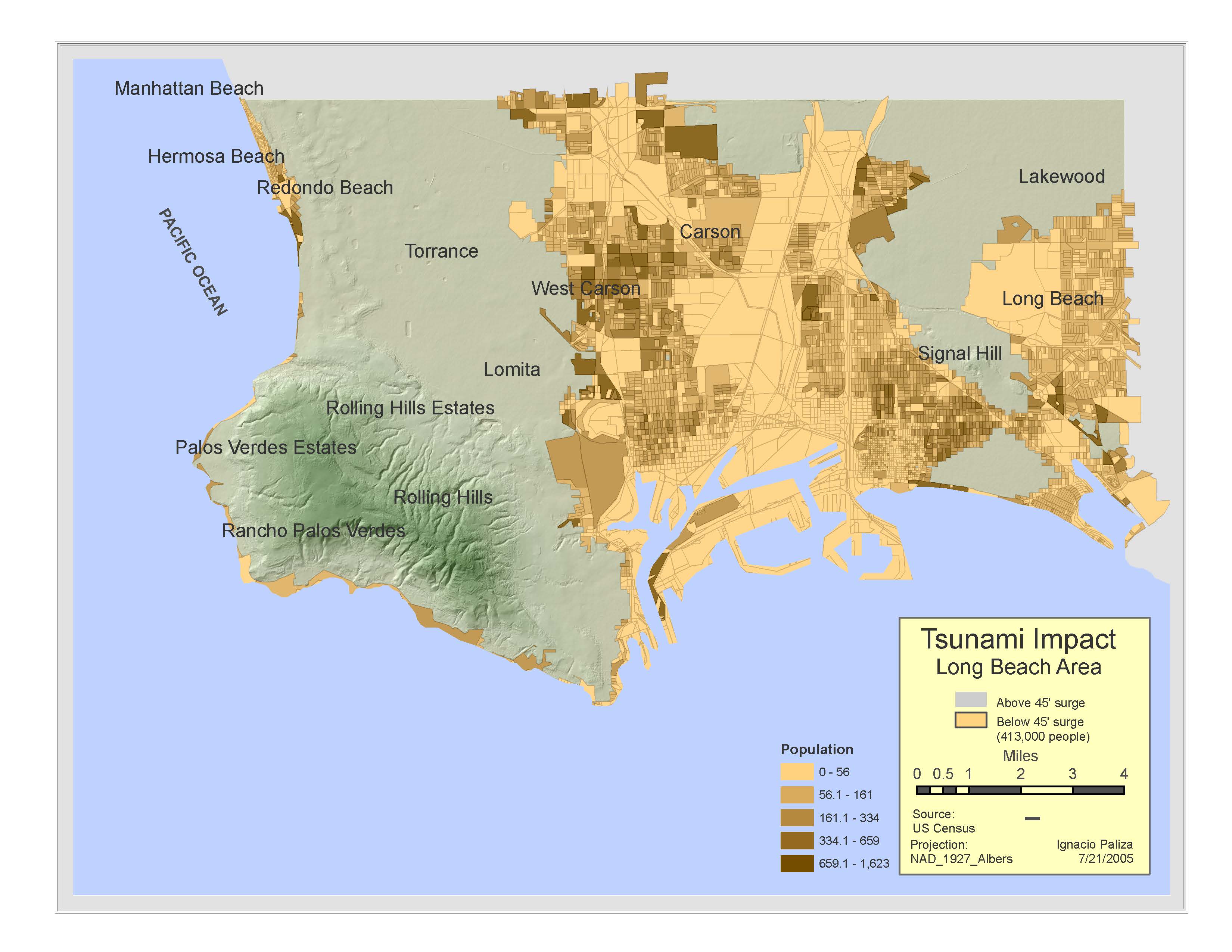
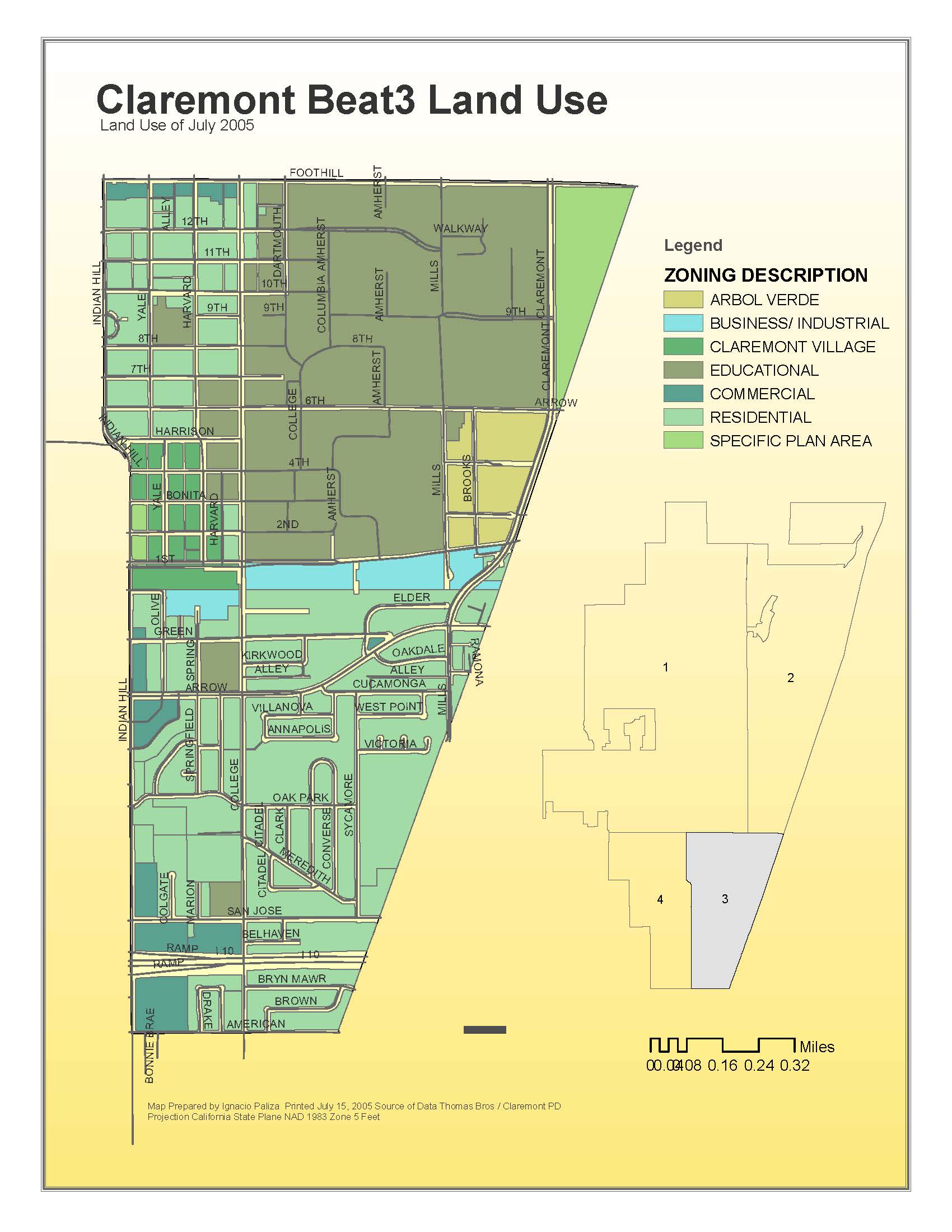
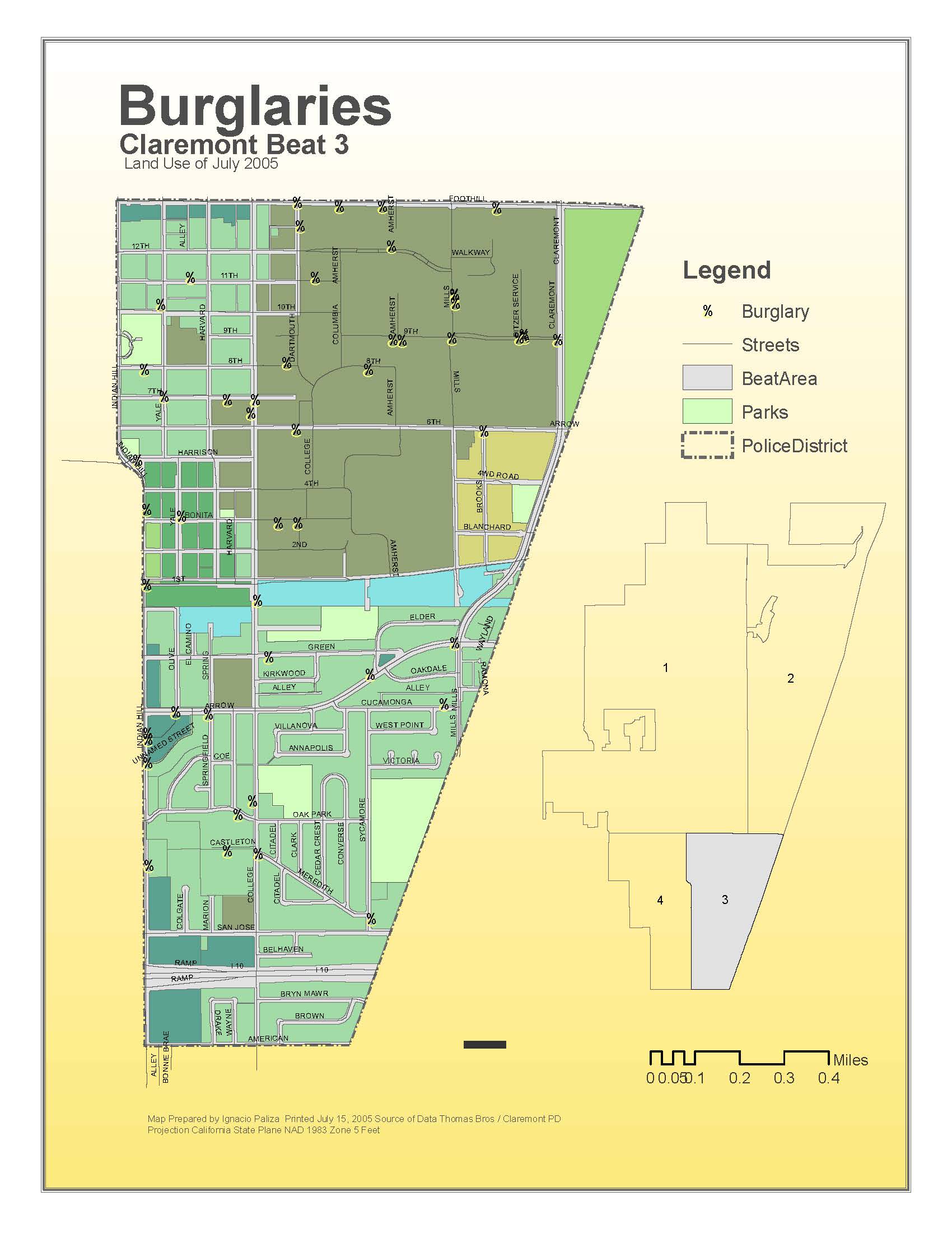
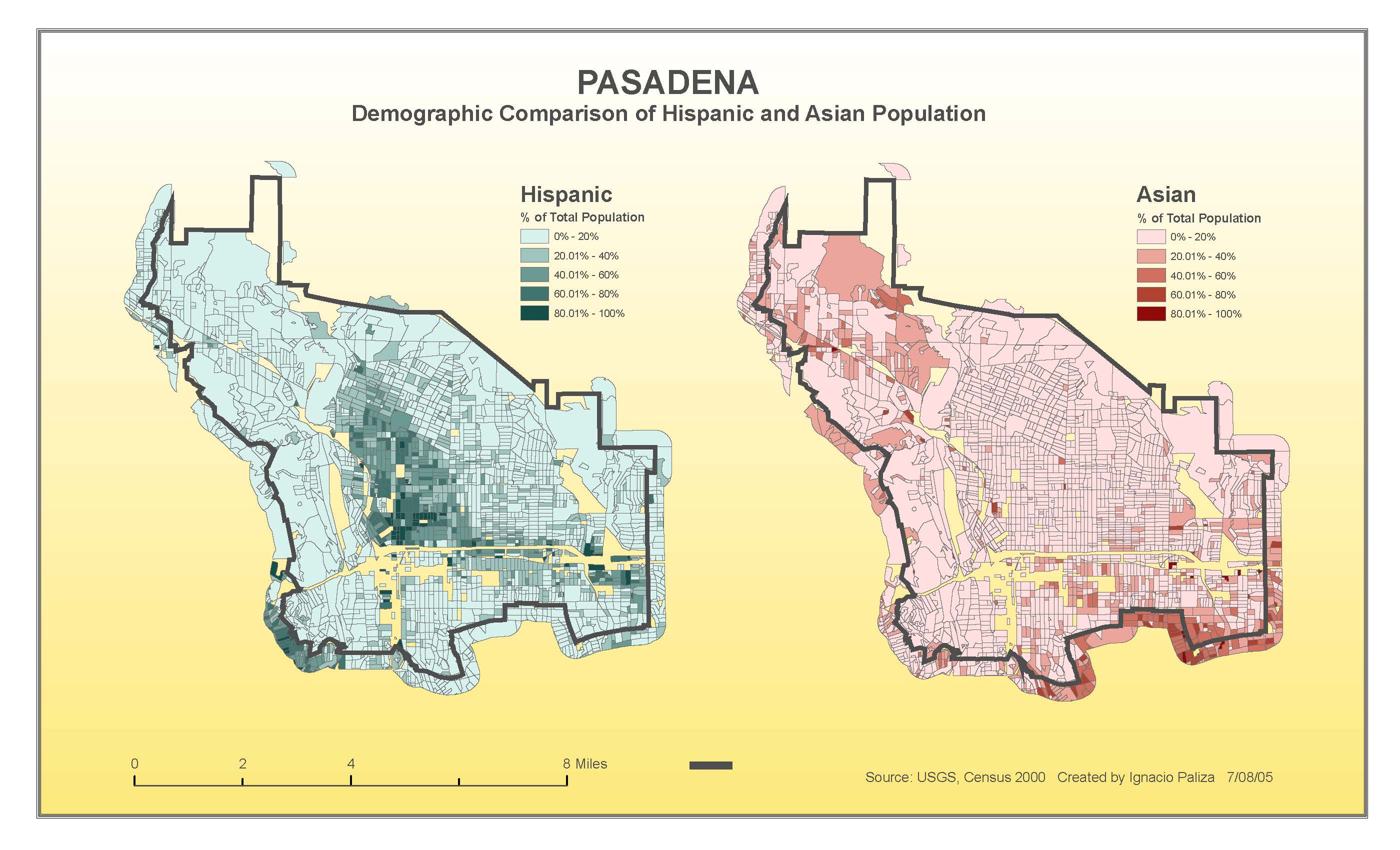
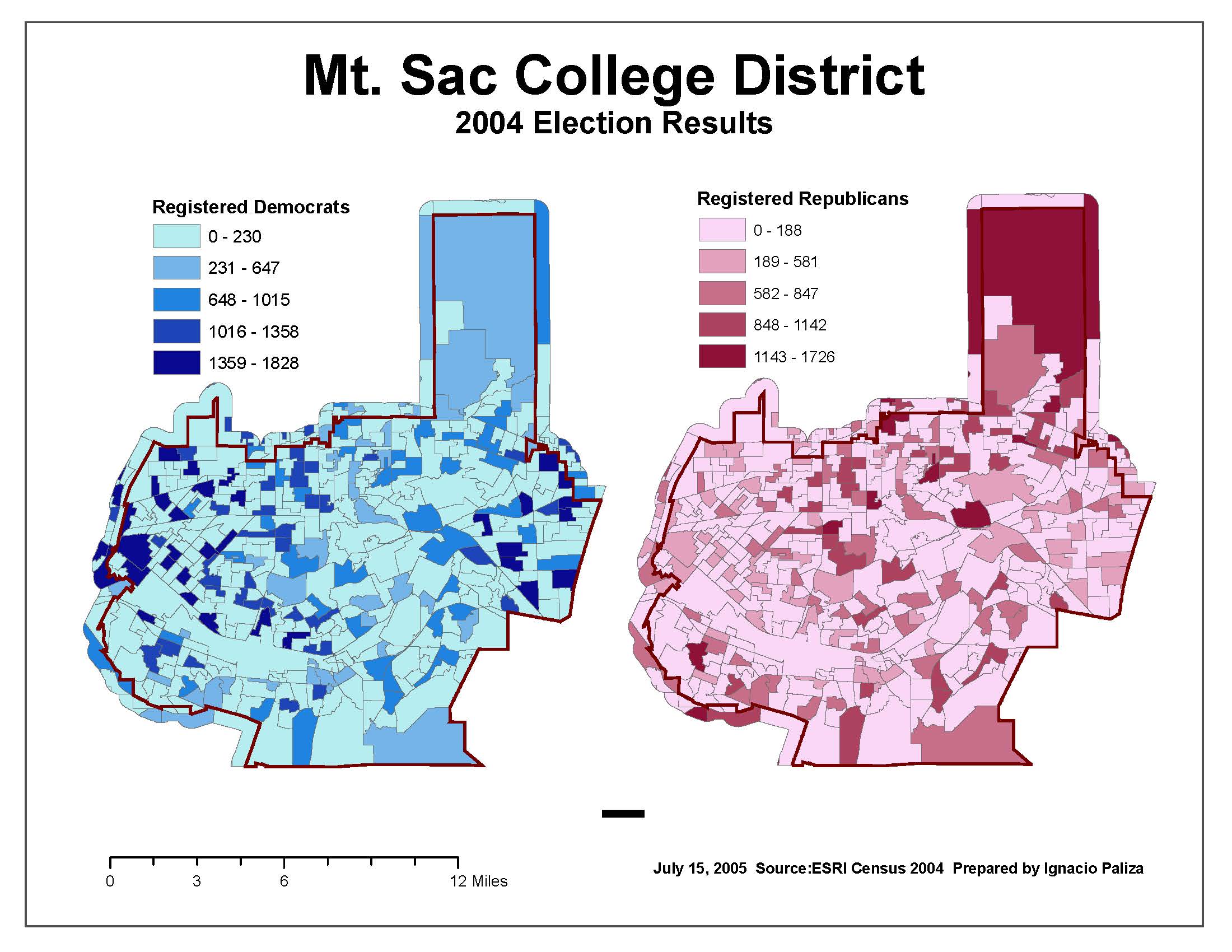
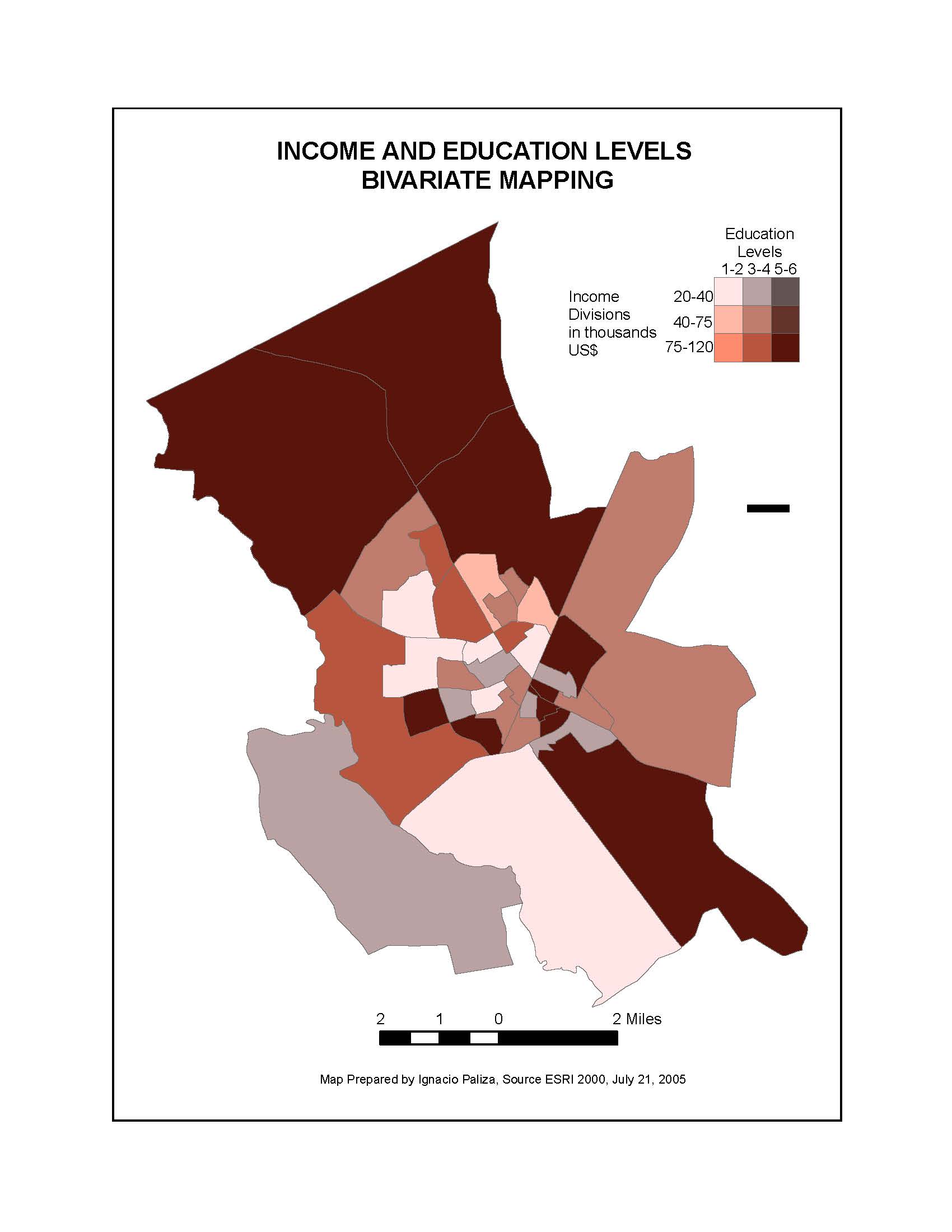
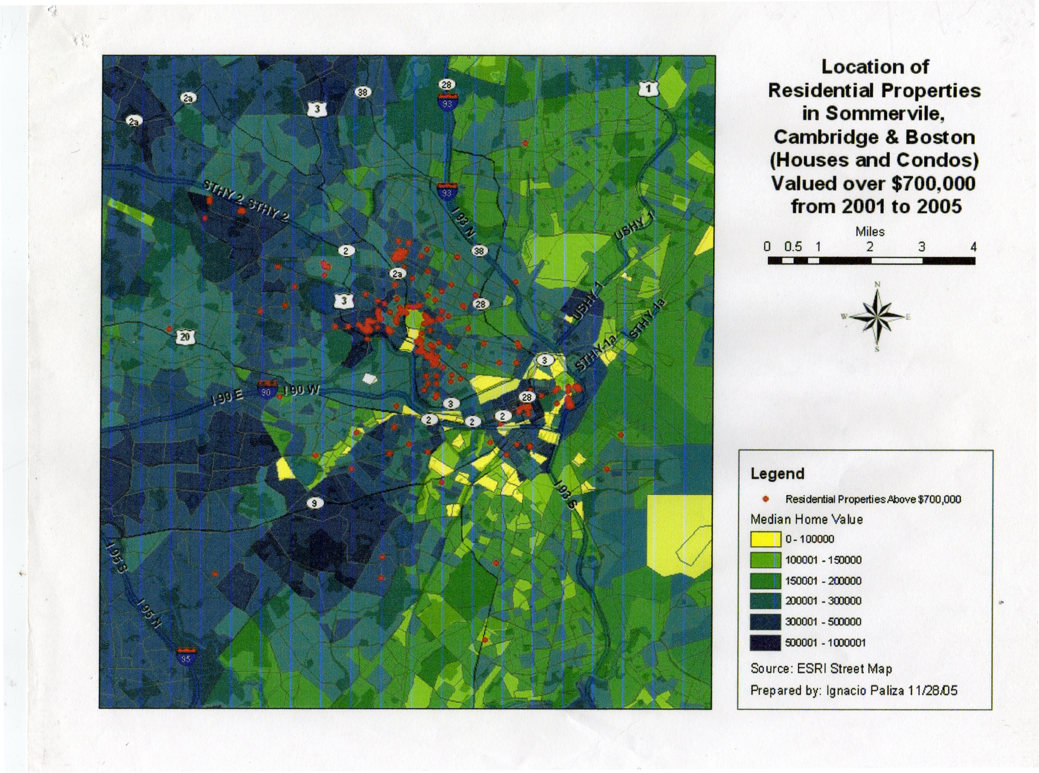
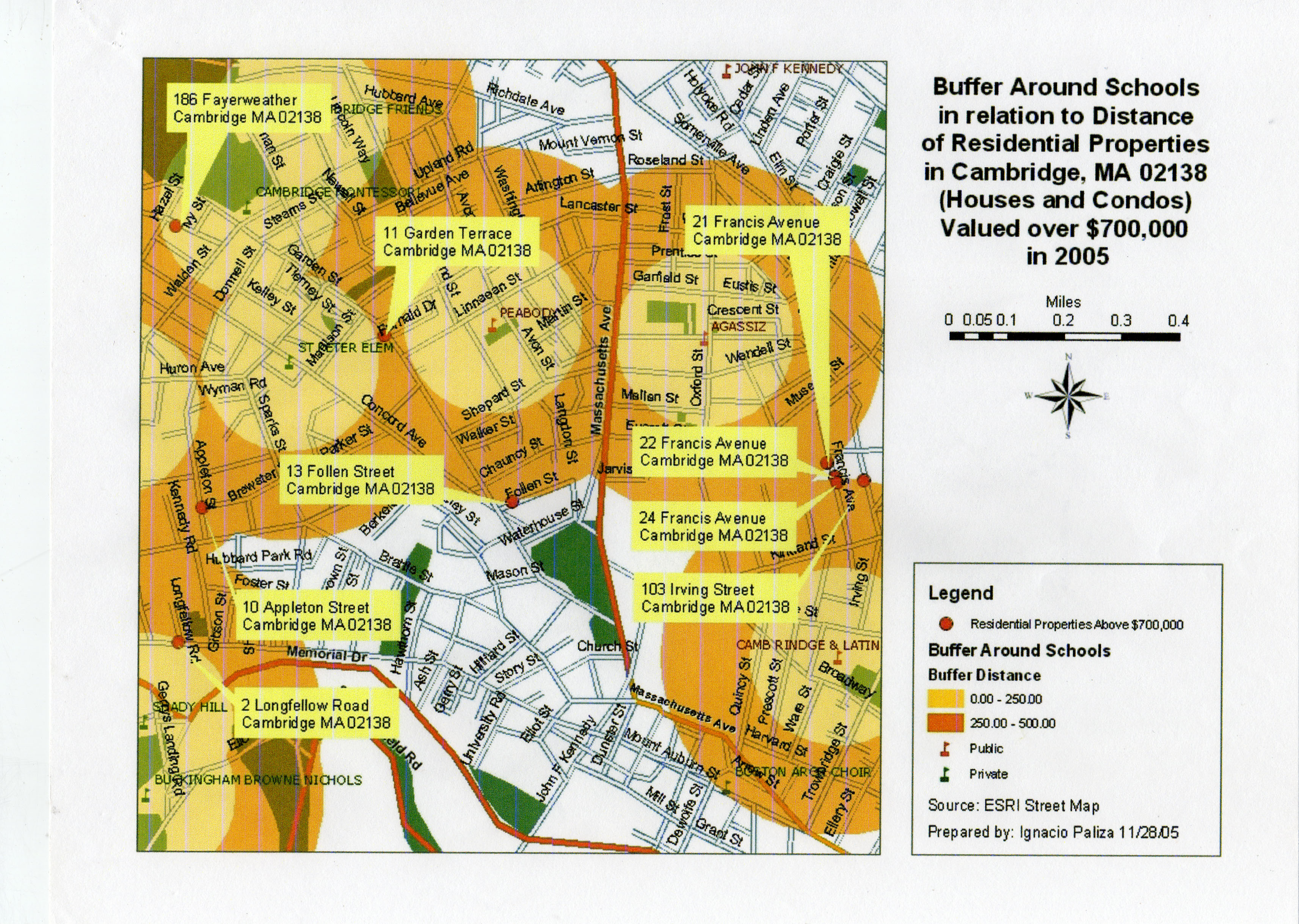
I completed the following cartography studies while I was taking the Certificate Program in Geographic Information System (GIS) at University of California at Riverside (UCR).
Geographic information system (GIS) is one of the most powerful data visualization tools for capturing, managing, analyzing, and displaying all forms of geographically referenced information. It enables viewers to visualize data, analyze space, interpret data relationships, easily understand patterns, build scenarios, and forecast trends in the form of maps, reports, tables, and charts.
Date

